

Hiking Pico de las Nieves – the highest peak of Gran Canaria – was my primary mission on the island. At that point, I have already hiked all the tallest peaks of the 5 Canary Islands, including hiking Mount Teide both ways on foot. 😉
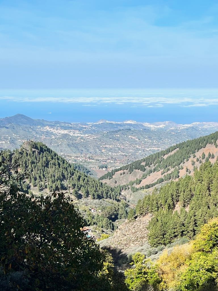
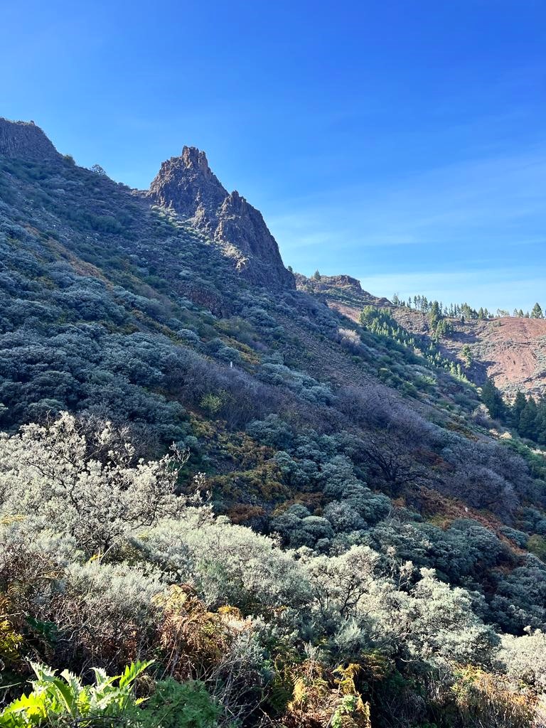
Pico de las Nieves is located at an altitude of 1949 meters and is a part of Caldera de Tejeda to the west and the Caldera de Tirajana to the south. The mountain is extremely popular since it’s easily accessible by car or bike. But a lot of people would still choose to hike up – as the alternative option to get to the top of the mountain for impressive panoramic views of the hilly island.
Hiking Pico de las Nieves in Gran Canaria.
Pico de las Nieves means ‘Snow Peak’, as the mountain is often covered with snow in winter months. The easy access to the top of the mountain may seem like hiking the peak is an easy adventure. Trust me it is NOT – it’s a long hike with an elevation gain of over 1000 meters. Here is a full guide on hiking Pico de las Nieves via different routes.
Hiking Pico de las Nieves is a great idea for those who want to remain a little bit more active on their holidays or switch sunbathing for some workout. This trail is suitable for non-professional hikers and it leads mostly along the asphalt road or maintained hard forest path. However, a good fitness level is required due to the total ascent and length of the trail, so do not underestimate this route.
Pico de las Nieves parking.
Pico de las Nieves is the first summit I saw with a convenient parking place instead of a peak viewing point 😉 That’s the truth – there will be 10 times more cars than hikers. The majority of the visitors get to the top by car especially in the late afternoon to admire Pico de las Nieves sunset.
Here are two very affordable tours to Pico de las Nieves:
- Tour from Palmas – Pico de las Nieves & Roque Nublo Full-Day Trip.
- Gran Canaria – “Peaks of Gran Canaria” Hiking Tour.
And here is a private tour across Gran Canaria peaks with photography.
Renting a car in Gran Canaria.
Gran Canaria has decent public transport – but mostly around the island. If you want to travel and explore the mainland you need to rent a car.
I rented a car a number of times in all Canary Islands and it has always been one of the easiest and most pleasurable car rental experiences. I highly recommend Rentalcars.com – the world’s largest online car rental service, which brings up the best deals from all the rental companies. I mainly pay attention to rental ratings and I never had a single issue with a car rented. Besides Rentalcars.com offers 24/7 customer service, no hidden costs and free cancellation.
Hiking routes to Pico de las Nieves.
Hiking Pico de las Nieves can be done via different routes – the southern one is probably more interesting than the others.
I followed the northern trail, which starts in charming Vega de San Mateo town – which couldn’t be better for morning breakfast in one of the delicious local cafes.
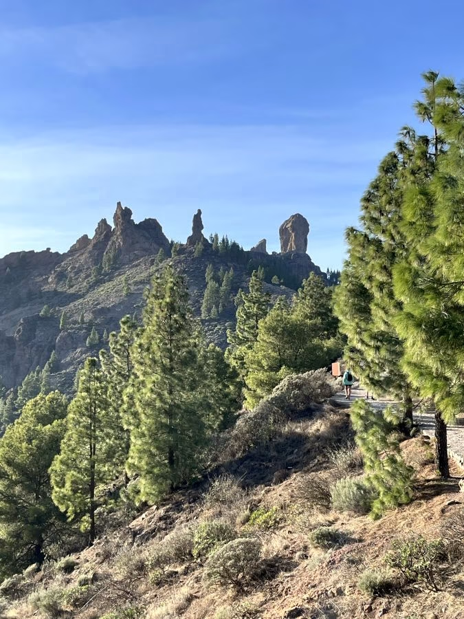
Pico de las Nieves from Cruz Grande.
Hiking route from the south is probably slightly more interesting than the one from the north.The trail from Cruz Grande goes along stunning Ruta de la Plata, with many beautiful viewing points on the way. It’s a 15 km route both ways and takes approx. 6 hours to accomplish.
Hiking Pico de las Nieves from Vega de San Mateo - my route.
In the morning of my hiking day, I traveled by public transport from Las Palmas toward the mountains, so there was no chance for me to get to the south trail in Cruz Grande. My only option was to start the hike from Vega de San Mateo.
The bus dropped me in the middle of this small town and it immediately had my attention. It’s a lovely, quiet, cosy mountain town, which fills you with positive energy from the moment you land there.
It was 11 am and I was dying for a good breakfast and coffee before this long hike. I also wasn’t totally sure about my route, as the internet wasn’t very clear with directions.
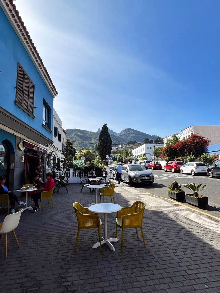
Place I highly recommend for breaky is Quesería Yo sin Ti or Cafe Rabel (next to each other). After a delicious apple crumble and Spanish coffee apple cryou are set for the hike!
Starting point for hiking Pico de las Nieves.
Starting point: Vega de San Mateo (at an elevation of 820 meters)
Total ascent: 1130 metres one way
Total length: 20km both ways.
Hiking time: 3.5-4h up, 3-3.5h down.
Difficulty level: Moderate
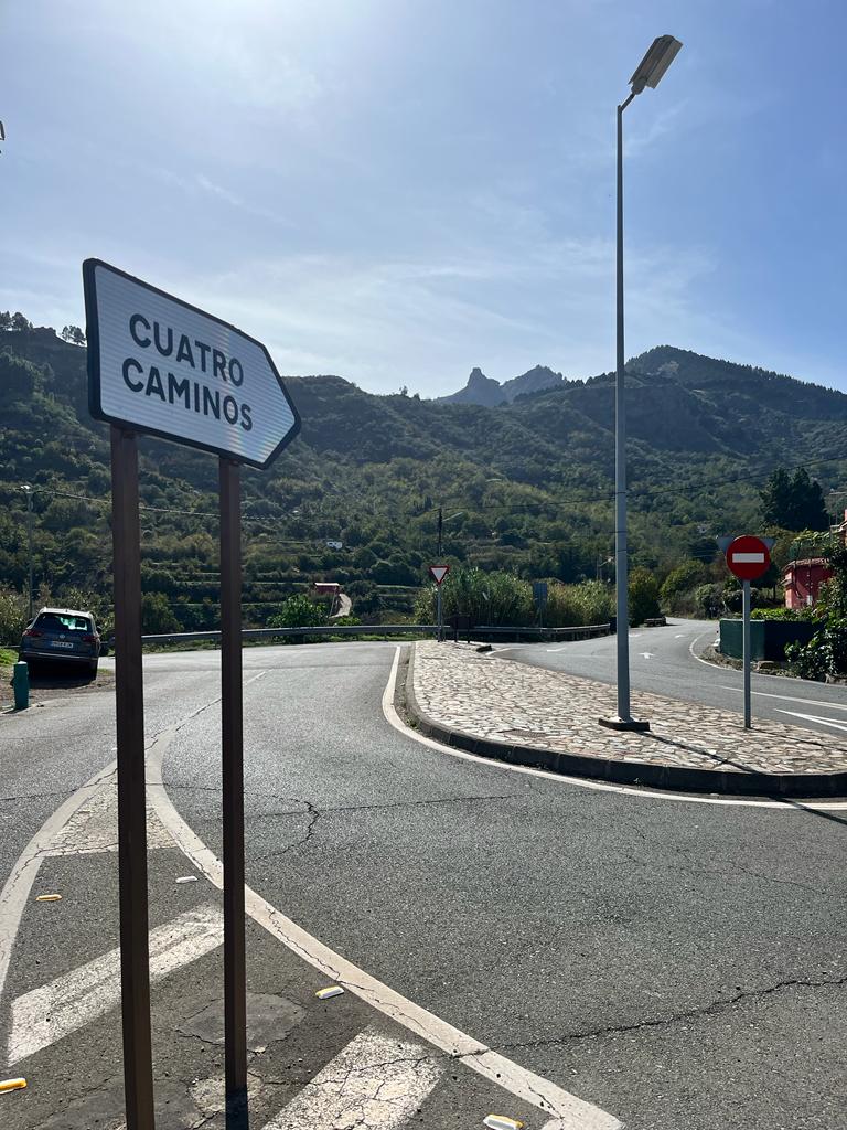
Finding the right direction toward Pico de las Nieves took me a while. Eventually, I found myself on the right path toward the peak.
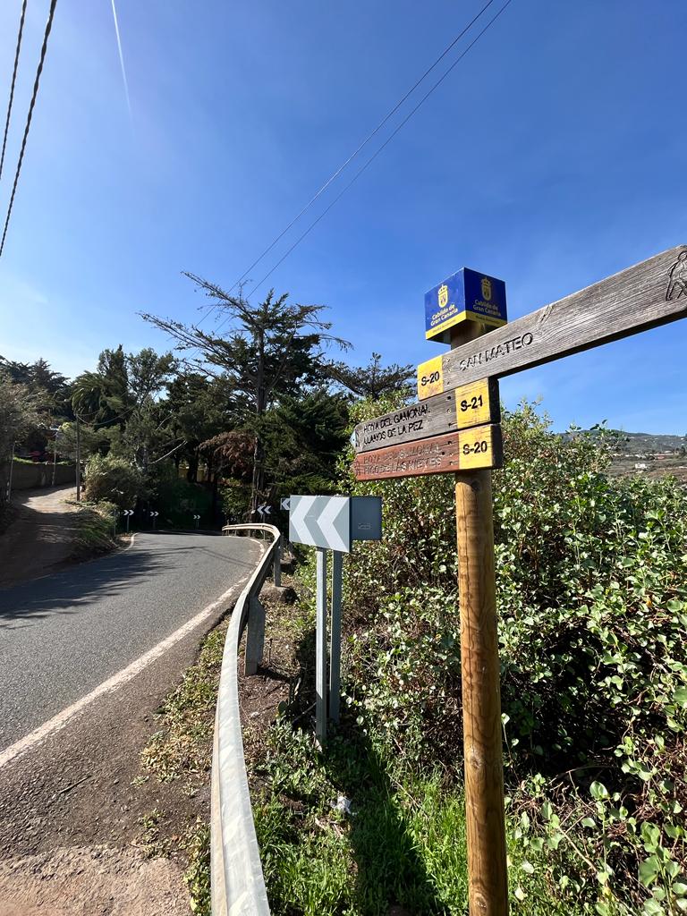
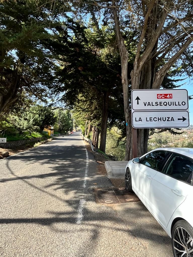
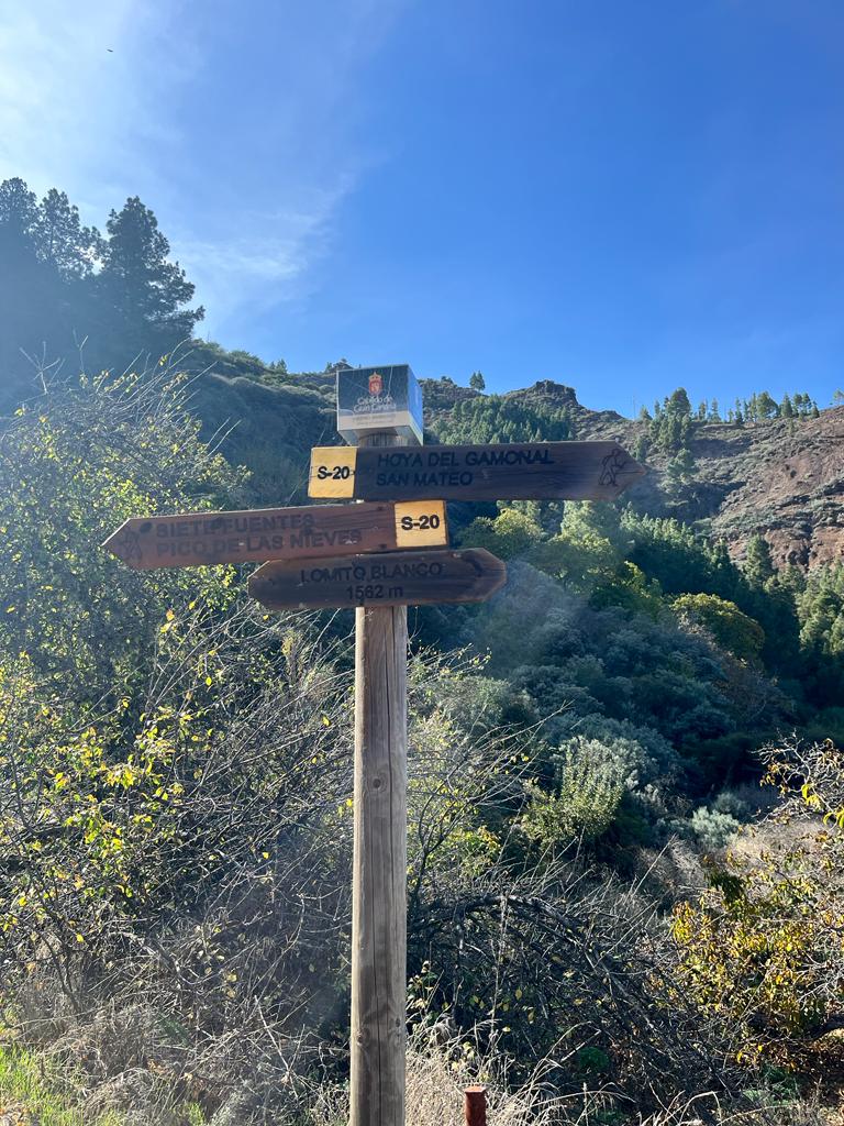
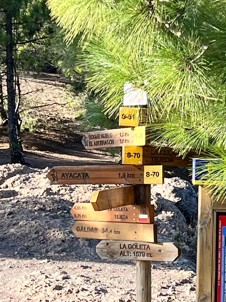
From the coffee place take the main road GC-41 (C. del Agua) south direction. After 200-300m you can take a shortcut and turn left into Cabildo de Gran Canaria street. At that point, you should first see road signs toward Pico de las Nieves. Cross GC-41 and continue walking the street until the end of it where you take right into GC-41 – you should have a road sign toward Valsequillo and follow the main road toward roundabout.
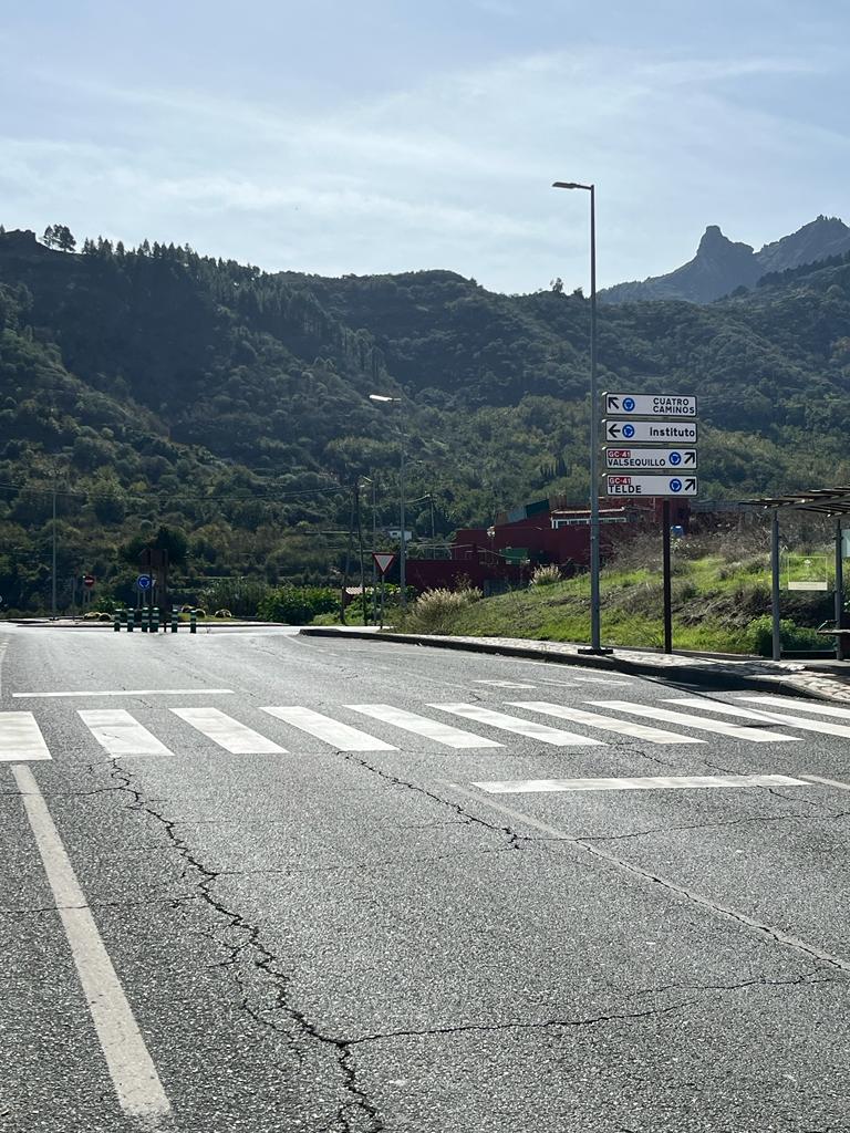
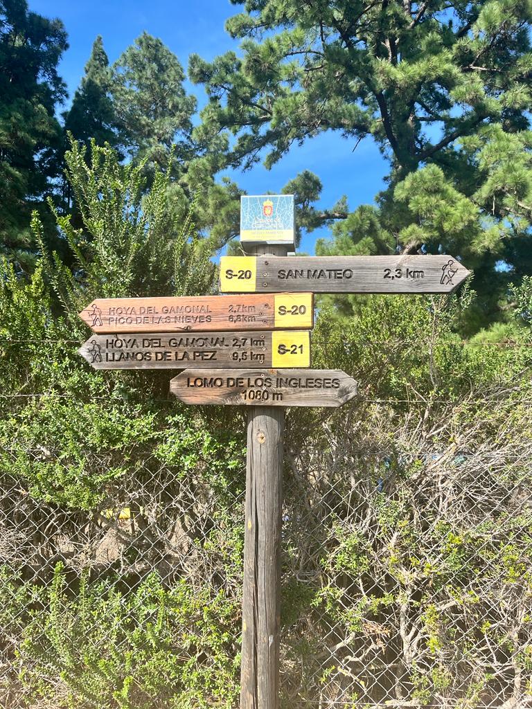
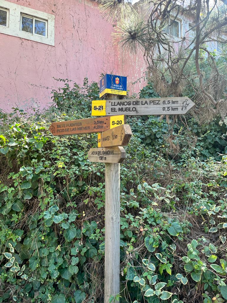
At the roundabout follow Telde and Valsequillo direction. After 300 metres turn right into GC-414 and when the road splits take the right road Hoya Navarra and at the end of it turn left. At that stage you still have 6.8km to Pico de las Nieves. Follow the road and take a direction toward Hoya del Gamonal. At this stage, you will be walking an asphalt road with few steep sections. You should meet a couple of road signs pointing at Pico de las Nieves.
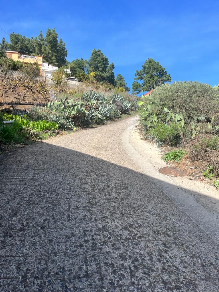
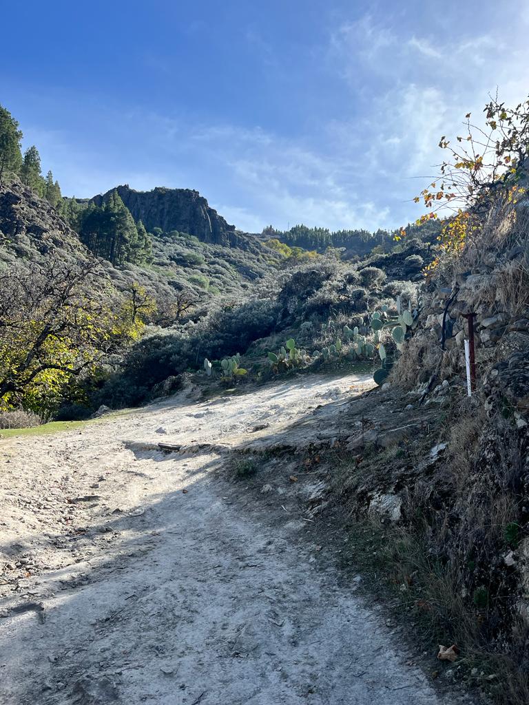
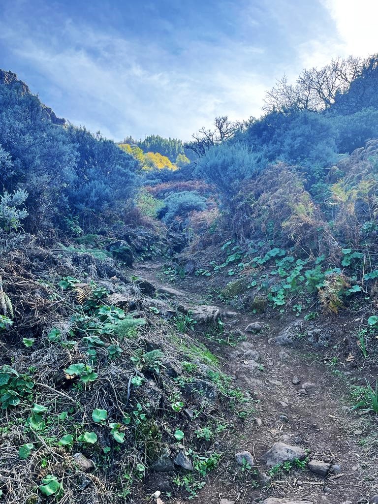
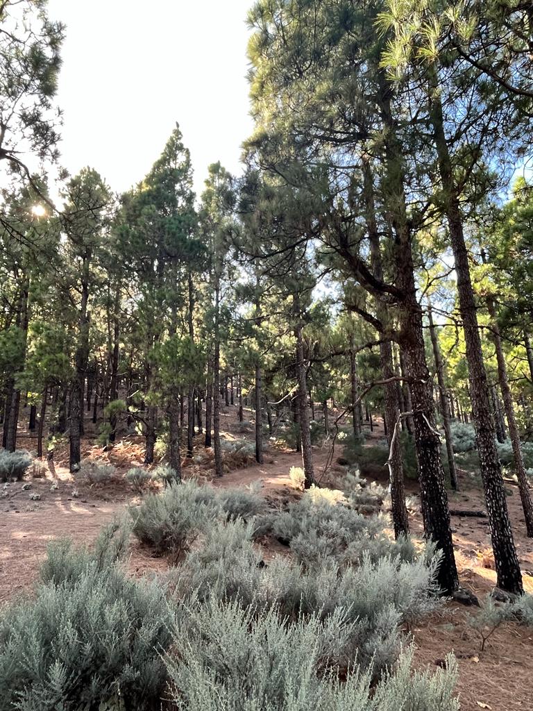
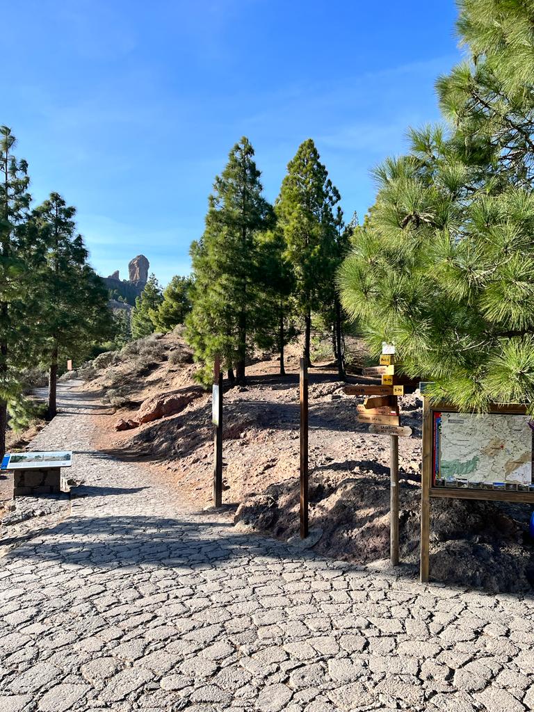
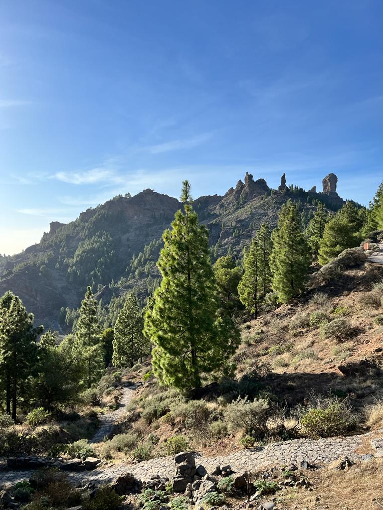
From Hoya del Gamonal the trail turns into a forest path and it is actually a very pleasant stage of the whole route. You will pass some buildings with road signs toward Pico de Las Nieves until you reach a mountain path leading toward GC-130.
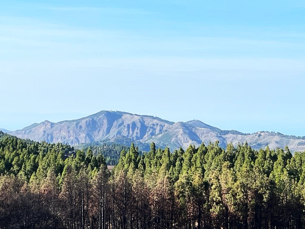
Just before reaching another asphalt road GC-130 you are finally able to get some magnificent mountain views.
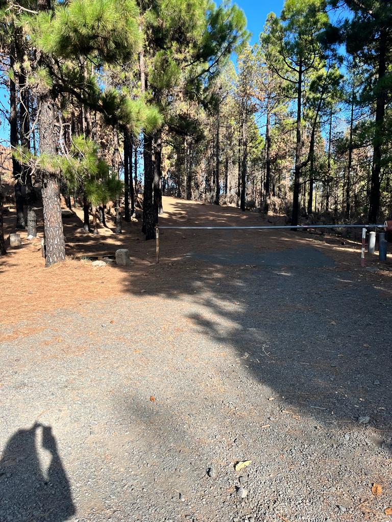
Once you reach GC-130 turn right and after a short distance turn left into GC-134. Follow the road and at that point, you can choose to follow the poorly maintained forest path on your left (next to the Military Station with a barrier – see photo) or continue along the main car road until Pico de las Nieves viewpoint. The forest path was my choice, there was no point in following the popular asphalt road.
Once you reach the peak you will probably see lots of cars parked enjoying the beautiful natural landscape of the island.
You might be surprised but reaching the highest point of the mountain will not be possible as it is a military terrain. The viewing point is a little lower but you are still an achiever!
NOTE: Hiking Pico de las Nieves I met only 1 person on the way, there are NO shops or cafes, so take plenty of water and snacks, as purchasing won’t be possible. It can get WINDY and quite chilly in winter months, so pack some windproof clothing to stay warm.
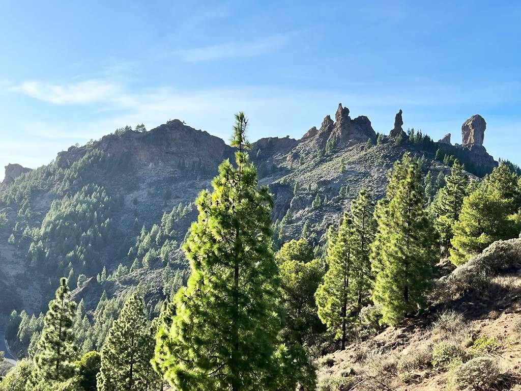
It is quite popular to hike Roque Nublo or El Fraile peak from Pico de las Nieves. Roque Nublo is a stunning mountain point (or rather a basaltic rock). I would even say the trail is much more interesting than Pico de la Nieves route. Many people would book a full day trip to Pico de las Nieves and Roque Nublo at the same time.
Bus to Pico de las Nieves.
There is NO PUBLIC BUS to Pico de las Nieves. You will be able to get to Vega de San Mateo town (my starting point) by a local bus but from there you have only two choices: hiking Pico de las Nieves highest point or getting a taxi (taxi would be around $25 – but ask or negotiate the price ahead).
Cycling to Pico de las Nieves.
In general – cyclists love Canary Islands. I have never seen more cyclists than in Majorca. SInce there is a convenient asphalt road leading to the top of the mountains cycling would the second most popular way of getting to the top.
Hiking Roque Nublo.
Roque Nublo peak is a half an hour hike (1.5 kilometers) along a maintained path starting from the main asphalt road. There’s a small car park with a stand offering fresh juices and some snacks. You’ll be able to see road signs at the beginning of the trail pointing at different routes and directions.
Pico de las Nieves tour.
Many visitors are picking organized tours to Pico de las Nieves and surrounding sights, especially since the tours are at a very affordable level. You will hardly hear me saying I prefer a tour to solo hiking but let’s be honest – Hiking Pico de las Nieves is a bit dull compared to the duration of the route (it’s an all-day hike).
In my opinion, it is the least interesting hike of all Canary Islands’ great volcano adventures.
The most popular is a Full-day Tour to Pico de las Nieves and Roque Nublo.
But even more interesting option is Las Palmas: 8-Hour Gran Canaria Island Highlights Tour taking you from north to south via most amazing local villages, the highest peak and even the sand dunes.
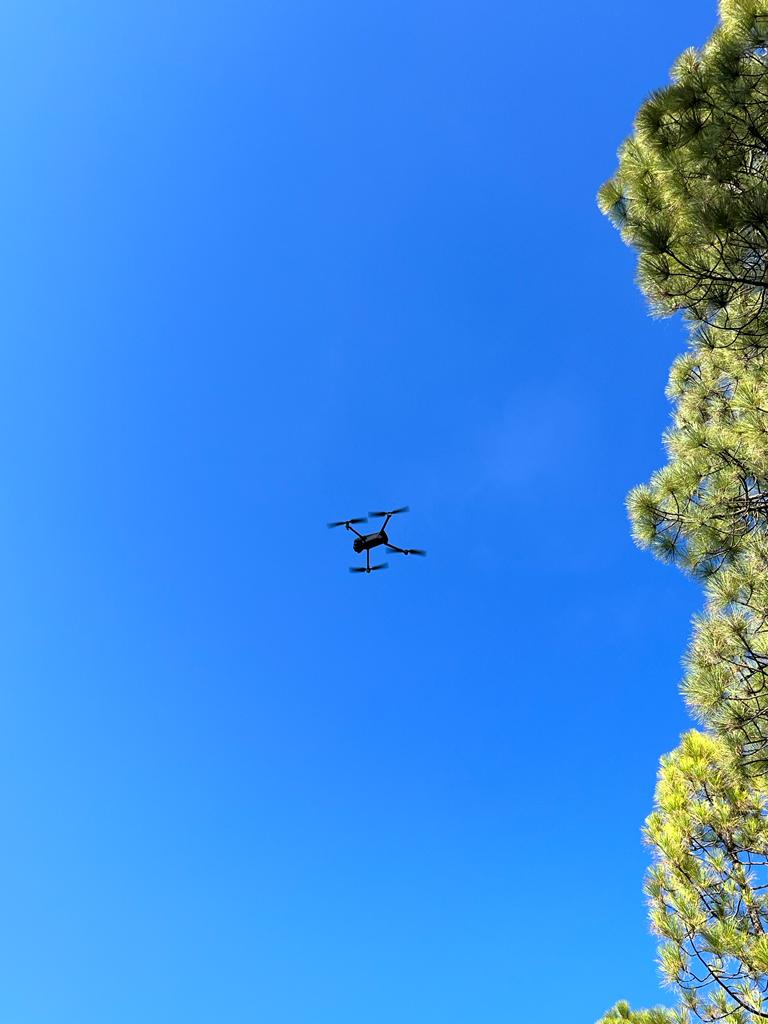
In general hiking Pico de las Nieves is a good adventure, quite a challenging workout due to altitude and length, well worth the ascent. Make sure you have your way back figured out – there is no bus to the highest point of Gran Canaria and if you come on foot you will need to hike back. Or hitchhike like I did – I was very lucky to meet a lovely German traveler, who not only turned out to be a drone explorer but took me back to the south of the island to lovely Maspalomas. Unplanned and unpredictable travels are the best and most adventurous way of exploring the world! Willi – many thanks for the lovely chats during our road travels – you know how to drive (as for ex-Formula 1 commentator).
Note: This post may contain affiliate links, which are at absolutely no cost to you – I can earn a small commission on sales generated through this website and thanks to that I can share travel guides and inspirations that may help you reach your dream destinations and discover our unique world. I only recommend sites I actually use and have traveled to. Thank you for your support!
